As we move closer to our 40th founding anniversary on September 26, we invite you to get to know the PIDS a bit more. Each day from August 18 to our anniversary day, we'll feature some interesting facts about the Institute—a total of 40 Things (You Just Might Not Know) About PIDS.
40 Things (You Just Might Not Know) About PIDS (20/40): Geographic Information Systems
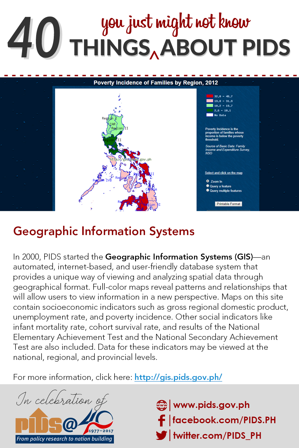
In 2000, PIDS started the Geographic Information Systems (GIS)—an automated, internet-based, and user-friendly database system that provides a unique way of viewing and analyzing spatial data through geographical format. Full-color maps reveal patterns and relationships that will allow users to view information in a new perspective. Maps on this site contain socioeconomic indicators such as gross regional domestic product, unemployment rate, and poverty incidence. Other social indicators like infant mortality rate, cohort survival rate, and results of the National Elementary Achievement Test and the National Secondary Achievement Test are also included. Data for these indicators may be viewed at the national, regional, and provincial levels.
For more information, click here: http://gis.pids.gov.ph/ #pidsat40
40 Things (You Just Might Not Know) About PIDS (20/40): Geographic Information Systems
In 2000, PIDS started the Geographic Information Systems (GIS)—an automated, internet-based, and user-friendly database system that provides a unique way of viewing and analyzing spatial data through geographical format. Full-color maps reveal patterns and relationships that will allow users to view information in a new perspective. Maps on this site contain socioeconomic indicators such as gross regional domestic product, unemployment rate, and poverty incidence. Other social indicators like infant mortality rate, cohort survival rate, and results of the National Elementary Achievement Test and the National Secondary Achievement Test are also included. Data for these indicators may be viewed at the national, regional, and provincial levels.
For more information, click here: http://gis.pids.gov.ph/ #pidsat40
Gallery Images: